A HERE CITY site

Drought Ends Missouri River Barge Support Nov. 15, Two Weeks Early, as Gavins Point Releases Drop to 9,000 cfs
The Corps ends Missouri River navigation support Nov. 15, not Dec. 1, and cuts Gavins Point flows to 9,000 cfs. What it means for grain and fertilizer.
Key takeaways
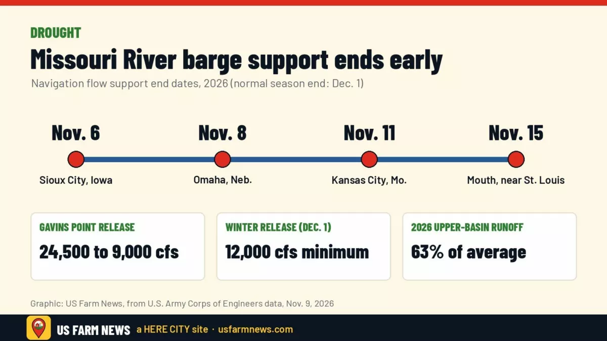
- The Army Corps of Engineers is ending Missouri River navigation flow support at the river’s mouth on Nov. 15, about two weeks before the normal Dec. 1 end.
- Gavins Point Dam releases are being cut from 24,500 cfs to 9,000 cfs, a drought step the Corps last used in 2008; winter releases will be the minimum 12,000 cfs.
- Upper-basin runoff for 2026 is forecast at 63% of average, and reservoirs are expected to start the 2027 season short of water.
- Grain that misses the last barges will need to move by rail or truck or be stored until spring.
Barge season on the Missouri River is ending early. The U.S. Army Corps of Engineers said flow support for navigation will stop at the river’s mouth near St. Louis on Nov. 15, about two weeks ahead of the usual Dec. 1 end. The cause is a drought that has left the upper basin’s big reservoirs well below normal.
The cutoff has been moving downriver this month. According to the Corps, support ended at Sioux City, Iowa, on Nov. 6, at Omaha on Nov. 8 and at Kansas City on Nov. 11. For grain handlers and farmers who ship from river terminals in Iowa, Nebraska, Kansas and Missouri, that leaves only a few days for any last loadings that depend on navigation flows.
Why it matters to grain and input costs
The Missouri is a smaller freight corridor than the Mississippi, but for elevators near the river, barges give them another way to move grain besides rail and truck. Steve Engemann, president of Missouri River Towing, told The Waterways Journal in August that the drought-shortened season would probably cost his company several trips. He said the second half of November is usually one of its busiest stretches.
He also said the timing matters most for grain. If crops do not reach elevators in time to be loaded, those lost navigation days are hard to make up. Low water creates a second cost. Engemann told the Journal that minimum-release conditions can reduce barge drafts to about 8 or 8.3 feet, compared with 9 feet in normal conditions. Shallower drafts mean less cargo per barge, and he said grain freight is often already close to the point where barge shipping stops paying.
For farmers, the practical effect shows up at the local level. Grain that cannot go by barge has to move by rail or truck or stay in storage, and that can affect local basis bids and how quickly elevators can take more bushels. The same towing company also hauls fertilizer on the river, Engemann said, so input deliveries planned by barge are affected too.
What the Corps is doing at the dams
The Corps began reducing Gavins Point Dam releases near Yankton, S.D., on Nov. 6, stepping them down 3,000 cfs a day from 24,500 cubic feet per second to a 9,000-cfs floor. That reduced flow will last until Dec. 1. The Corps calls this a fall water supply release and said it was last used in 2008, the Norfolk Daily News reported. Releases from Fort Randall Dam are being lowered on a similar schedule.
On Dec. 1, Gavins Point releases will rise to 12,000 cfs, the minimum winter rate. That rate was set by the reservoir system’s Sept. 1 storage check. John Remus, who heads the Corps’ Missouri River Water Management Division, said water intake operators on the lower river should take steps to make sure they can still reach the water. He said releases may be raised temporarily if very cold weather causes ice to form and river levels drop more than expected.
The drought numbers
- Runoff: the Corps forecasts 16.2 million acre-feet of 2026 runoff above Sioux City, 63% of average. October runoff alone was 61% of average.
- Storage: the six mainstem reservoirs held 44,998 thousand acre-feet on Oct. 31, 83% of the 1967-2025 average.
- Drought coverage: about 60% of the basin is abnormally dry or in drought, based on the latest Drought Monitor cited by the Corps.
- 2027 start: Fort Peck, Garrison and Oahe are expected to be about 14 to 16 feet below the bottom of their flood control zones on March 1, 2027.
- Hydropower: the mainstem plants generated 501 million kWh in October, versus a typical 808 million.
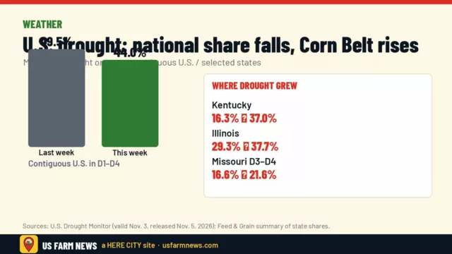
The shortened season was not a surprise. The Corps’ July 1 storage check already pointed to minimum-service navigation for the second half of the year, and 680 KFEQ reported at the end of July that the season would end Nov. 15. The Drought Monitor has also shown dryness spreading this fall; see our Drought Monitor coverage for the farm-level picture.
What to watch
- Nov. 15: navigation flow support ends at the mouth of the Missouri River.
- Dec. 1: Gavins Point winter releases start at 12,000 cfs.
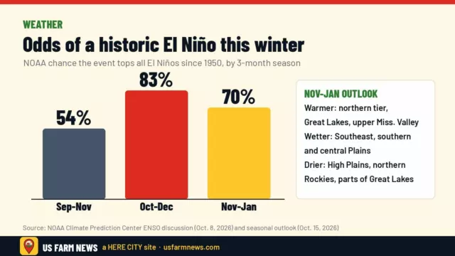
- Winter outlook: the Corps expects dry conditions to hold or spread across Montana, Wyoming and the western halves of the Dakotas through January, while western Nebraska, central South Dakota and the eastern Dakotas could improve. NOAA’s El Niño outlook is in our winter weather story.
- 2027 navigation: with storage expected below the flood control zone on March 1, the Corps’ spring storage checks will set the level of support for next year’s barge season.
Get the Daily Ag Business Briefing
Markets, policy and farm business in one free email each weekday.